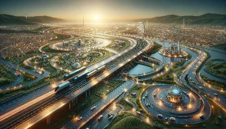
The use of 3D modeling in surveying has revolutionized the way we capture, analyze, and visualize spatial data. This article explores the impact and applications of 3D modeling in surveying, and how it intersects with surveying and spatial sciences and transport engineering.
Understanding 3D Modeling in Surveying
3D modeling involves the creation of three-dimensional representations of objects or terrain using specialized software and techniques. In surveying, 3D modeling plays a crucial role in capturing and representing the physical characteristics of landscapes, infrastructure, and built environments.
One of the key aspects of 3D modeling in surveying is the use of cutting-edge technologies such as LiDAR (Light Detection and Ranging), photogrammetry, and laser scanning to collect spatial data with high precision and accuracy. These technologies enable surveyors to create detailed and realistic 3D models that can be used for various applications.
Applications of 3D Modeling in Surveying
The applications of 3D modeling in surveying are extensive and diverse. These models are used in a wide range of fields, including urban planning, construction, environmental monitoring, and infrastructure development. For example, in urban planning, 3D models are used to visualize and analyze the impact of proposed developments on the existing environment, allowing for better decision-making and stakeholder engagement.
In construction, 3D models are used for clash detection, prefabrication, and building information modeling (BIM), streamlining the design and construction processes and improving project outcomes. Additionally, in environmental monitoring, 3D modeling helps in assessing changes in landscapes, analyzing vegetation cover, and monitoring erosion and sedimentation.
Intersection with Surveying and Spatial Sciences
The intersection of 3D modeling with surveying and spatial sciences has resulted in significant advancements in the way spatial data is collected, analyzed, and visualized. The integration of 3D models with Geographic Information Systems (GIS) and spatial analysis tools has enhanced the capabilities of surveyors and spatial scientists in understanding complex spatial relationships and patterns.
Furthermore, the use of 3D modeling has expanded the possibilities for creating accurate digital elevation models (DEMs), terrain visualizations, and 3D cadastral maps, which are essential for land administration and planning. The combination of 3D modeling and surveying has also contributed to the development of 3D city models, which are valuable for urban development, disaster management, and tourism planning.
Impact on Transport Engineering
In the field of transport engineering, 3D modeling has brought about transformative changes in the planning, design, and management of transportation infrastructure. Transportation networks, including roads, railways, airports, and ports, can be accurately modeled in 3D, enabling engineers and planners to assess the impact of infrastructure projects on traffic flow, accessibility, and safety.
3D modeling is particularly valuable in the design of transportation infrastructure, allowing for the visualization of road alignments, intersections, and geometric layouts. This visual representation helps in identifying potential design conflicts, optimizing traffic operations, and enhancing the overall performance of transportation systems.
Conclusion
3D modeling in surveying has become an indispensable tool for capturing and representing the physical world in a digital format. The applications of 3D modeling extend beyond surveying, influencing spatial sciences and transport engineering, and opening up new avenues for understanding and managing our built and natural environments.

