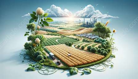
Agricultural drones and robotics have been revolutionizing the farming industry, influencing the way that agriculture is practiced and managed. This transformation is fueled by the integration of technological advancements, such as agricultural informatics and GIS applications, and it holds profound implications for the future of agricultural sciences.
The Role of Agricultural Drones and Robotics in Farming
When we talk about agricultural drones and robotics, we are referring to the use of unmanned aerial vehicles (UAVs) and robots in farming practices. These technologies are capable of performing a wide range of tasks, from crop monitoring and spraying to soil analysis and livestock management.
1. Precision Agriculture:
Agricultural drones and robotics enable precision agriculture, where farmers can gather precise data about their fields, allowing for targeted actions to be taken. Drones equipped with sensors and cameras can capture high-resolution images of fields, identifying areas that require specific attention, such as irrigation or fertilization. Similarly, robotics can be used for precise planting, seeding, and crop maintenance.
2. Autonomous Operations:
The automation capabilities of agricultural drones and robotics free up valuable time for farmers. Drones can be pre-programmed to fly autonomously over fields, while robotic systems can perform repetitive tasks, such as weeding or harvesting, with minimal human intervention.
3. Data Collection and Analysis:
These technological platforms generate vast amounts of data, providing valuable insights for farmers. By integrating agricultural informatics and GIS applications, the data collected by drones and robotics can be analyzed to make informed decisions about farming practices. This data-driven approach allows for better resource management, increased productivity, and improved sustainability.
Integration with Agricultural Informatics and GIS Applications
Agricultural informatics and GIS applications play a crucial role in enhancing the capabilities of agricultural drones and robotics, creating a powerful synergy that transforms farming practices.
1. Data Visualization and Mapping:
GIS applications enable farmers to visualize and map their agricultural resources and activities. When combined with data collected by drones and robotics, GIS can provide detailed spatial information about crop health, soil moisture levels, and the distribution of pests and diseases. This visual representation helps farmers make precise decisions for targeted interventions.
2. Decision Support Systems:
Agricultural informatics processes the data collected from drones and robotics, turning it into actionable insights. These insights can be used to develop decision support systems that guide farmers in making informed choices about crop management, resource allocation, and environmental impact.
3. Monitoring and Surveillance:
With the integration of GIS, agricultural drones can be used for comprehensive monitoring and surveillance of agricultural landscapes. Farmers can detect changes in vegetation, track crop growth, and identify potential threats to their crops, all aided by the spatial analysis and modeling capabilities of GIS applications.
The Impact on Agricultural Sciences
The integration of agricultural drones, robotics, agricultural informatics, and GIS applications has a profound impact on agricultural sciences, influencing research, innovation, and sustainable farming practices.
1. Research and Development:
These technologies provide a rich source of data for agricultural research, allowing scientists to study crop dynamics, environmental patterns, and the impact of agricultural interventions. The insights gained from drone and robotics data have the potential to drive innovations in crop breeding, pest management, and precision farming techniques.
2. Environmental Sustainability:
The data-driven approach facilitated by agricultural drones, robotics, and GIS applications supports sustainable farming practices. By monitoring soil health, water usage, and crop conditions, farmers can implement precise and targeted measures to minimize environmental impact and conserve natural resources.
3. Agricultural Education:
The use of cutting-edge technologies in agriculture creates new opportunities for education and training. Agricultural sciences programs can integrate the study of drones, robotics, and agricultural informatics into their curriculum, preparing the next generation of farmers and agricultural professionals for a technology-enhanced industry.
Conclusion
Agricultural drones and robotics, in conjunction with agricultural informatics and GIS applications, are transforming the agricultural landscape. This integration brings forth a new era of precision agriculture, where data-driven insights and automation drive sustainable and efficient farming practices. As these technologies continue to evolve, their impact on agricultural sciences becomes increasingly significant, shaping the future of farming and food production.

